Caribbean, Windward Islands  by Joachim Ottens
Scroll to zoom, click for slideshow

Karibik, Windward Islands 1719 - 1723

Joachim Ottens

€ 975

Inter-Antiquariaat Mefferdt & De Jonge

  • Über Kunstwerk
    DETAILED MAP OF THE WINDWARD ISLANDS “Tabula novissima atque accuratissima Caraibicarum insularum sive Cannibalum : quae etiam Antillae Gallicae dicuntur, item insulae Supraventum, et in Archipelago Mexicano sitae sunt, ac detectae a Christ. Columbo Ao. MCCCCLXXXXIII” [Latest and most accurate map of the Caribbean or Cannibal Islands: also called the French Antilles, or Windward Islands, located in the Archipelago of Mexico, which were discovered by Christopher Columbus in the year 1493.] Copper engraving “after the observations of skilful sailors” made by Reinier Ottens and printed by the Window of Joachim Ottens  in Amsterdam 1719-1723. With original hand colouring. Size: 58 x 48 cm. Detailed map of the Windward Islands from Guadeloupe south to Grenada, including the small islands of Mustique (Grenadines) and Ronde Island (Grenada), with a large inset map of Martinique. Grenada has been moved north and is shown west of Carriacou island, in order that it fits on the sheet. Apart from topographical information, there are some notes of historic interest. According to the map tens of thousands live on Martinique (“Matanino as the locals call it and occupied by the French since July 1635”) and its tobacco is of the best quality. La Désiderade island was discovered by Christopher Columbus in 1493 on his second journey to America. “The island of Guadeloupe, called Carukeira [The Island of Beautiful Waters] by the locals, is very fertile with rice, maize, potatoes, ginger and sugar of different qualities. It is crowded with all types of parrots.” The island of Barbados has been occupied by the English in 1627. “St. Vincent, where the Caribs live, is most populated.” Price: Euro 975,-  
  • Über Künstler

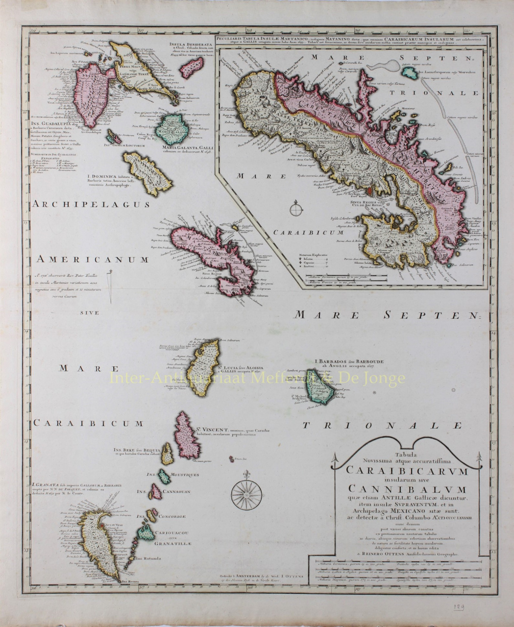
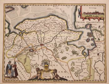
    Joachim Ottens (1663 - 1719) und seine Söhne Renier (1698 - 1750) und Joshua (? - 1765) waren herausragende niederländische Buchhändler und Kartenverleger.

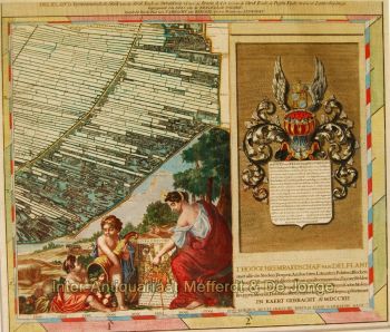
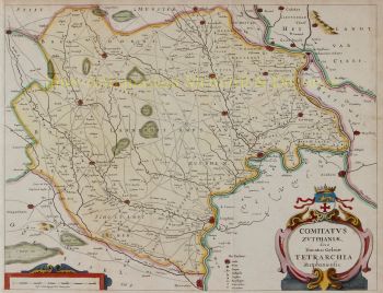
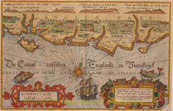
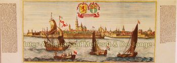
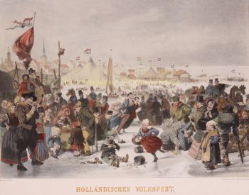
    Die Zeit von 1630 bis 1700 war das "goldene Zeitalter" der niederländischen Kartographie. Die Karten wurden als Kunstwerke wahrgenommen, Handarbeit wurde hoch geschätzt, die Gravur war auf höchstem Niveau, aber vom Standpunkt der geografischen Genauigkeit waren die Karten niederländischer Meister den in Deutschland, Frankreich und anderen europäischen Ländern hergestellten Karten unterlegen .

    Joachim, der Gründer der Firma Ottens, wurde in Amsterdam geboren und arbeitete zunächst als Kupferstecher. 1711 gründete er seine eigene Firma, die sich mit Verlags- und Druckereien beschäftigte, Bücher, Karten, Postkarten verkaufte und illustrierte.

    Obwohl Joachim einige Jahre später verstarb, führten seine Söhne Renier und Joshua den väterlichen Betrieb erfolgreich weiter. Der bedeutendste Beitrag zur Kartographie der Familie Ottens waren die riesigen mehrbändigen Atlanten, die sie auf Bestellung herstellten, wie z. B. Atlas Major. Einige Atlas-Ausgaben bestehen aus mehr als 800 separat herausgegebenen Karten.

Sind Sie daran interessiert, dieses Kunstwerk zu kaufen?

Artwork details