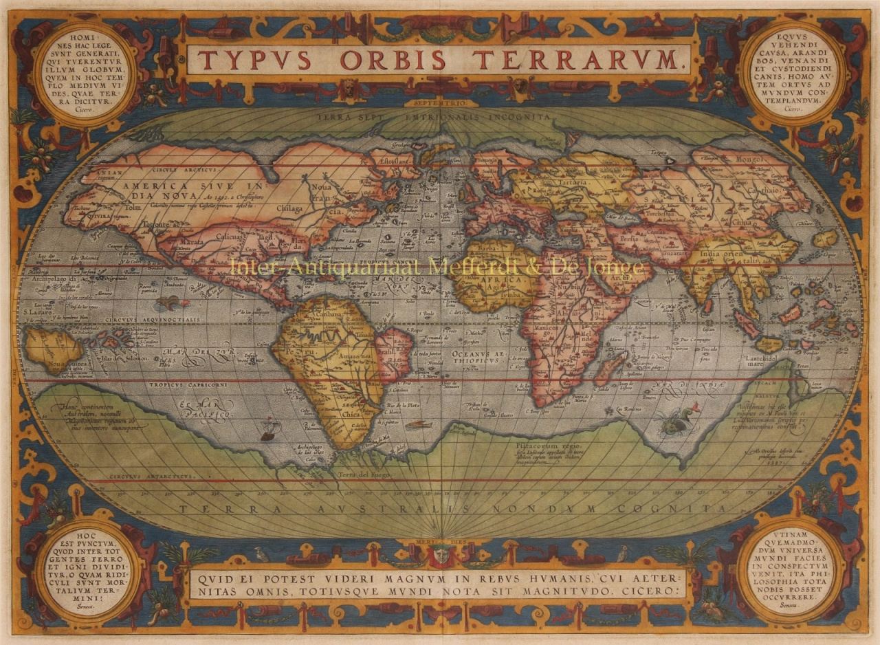
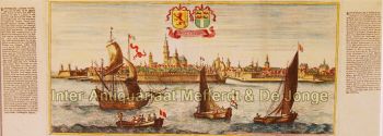
Abraham Ortelius (1527–1598) war ein flämischer Kartograf und Geograph, der weithin als Schöpfer des ersten modernen Atlas und einer der einflussreichsten Kartografen der Geschichte gilt. Seine bahnbrechende Publikation „Theatrum Orbis Terrarum“ (Theater der Welt) markierte einen Wendepunkt in der Art und Weise, wie geographisches Wissen gesammelt, standardisiert und präsentiert wurde.
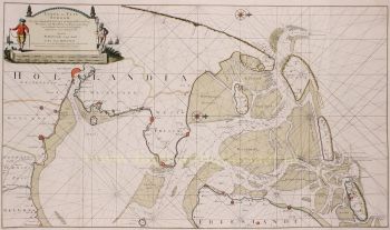
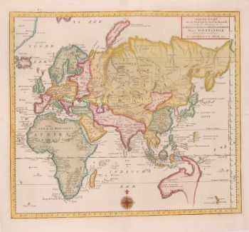
Das 1570 erstmals erschienene „Theatrum Orbis Terrarum“ war sowohl konzeptionell als auch in seiner Ausführung revolutionär. Anders als frühere Kartensammlungen bot Ortelius’ Atlas einen kohärenten und systematischen Überblick über die bekannte Welt mit Karten einheitlicher Größe, einheitlichem Stil und einheitlicher Qualität, begleitet von wissenschaftlichen Kommentaren. Dieser Ansatz wandelte die Kartographie von einem fragmentierten Handwerk in eine strukturierte wissenschaftliche und kulturelle Disziplin und machte die globale Geographie Gelehrten, Kaufleuten und Staatsmännern gleichermaßen zugänglich.
Ortelius lebte und wirkte im Goldenen Zeitalter der niederländischen Kartographie, einer Zeit, in der Fortschritte in der Erforschung, im Buchdruck und im Handel das europäische Weltverständnis grundlegend veränderten. Neben Gerardus Mercator gilt Ortelius als einer der Begründer der niederländischen Kartografieschule. Während Mercator die Kartenprojektion revolutionierte, zeichnete sich Ortelius durch seine Synthese aus – er vereinte das beste verfügbare geographische Wissen in einem einzigen, maßgeblichen Werk.
Über seine technischen Leistungen hinaus war Ortelius ein humanistischer Denker mit einem tiefen Interesse an Geschichte, der klassischen Antike und dem kulturellen Austausch. Er unterhielt ein weitreichendes internationales Netzwerk von Gelehrten, Entdeckern und Kartografen und gab seine Quellen sorgfältig an – eine für seine Zeit ungewöhnliche und fortschrittliche Praxis. Diese wissenschaftliche Integrität trug wesentlich zur Glaubwürdigkeit und zum anhaltenden Einfluss seines Werkes bei.
Abraham Ortelius’ Vermächtnis liegt nicht nur in seinen Karten, sondern auch in seiner Vision der Welt als vernetztes Ganzes. Sein Atlas prägte die europäische Weltsicht über Generationen hinweg und legte den Grundstein für die moderne Kartografie, wodurch er sich einen Platz unter den großen Geistesgrößen der Renaissance sicherte.